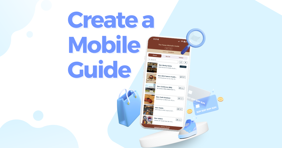
For a long time, maps were just flat sheets of paper that were often difficult to follow. GPS devices, Apple Maps, and Google Maps all helped us to find our way to cities, but they only took us from point A to B. Where do we stand with points A-Z? The use of interactive location maps makes the exploration of new cities a more immersive experience.
So what is an interactive map? In interactive mapping, the map permits user interactivity, or, simply put, individuals can manipulate it. An interactive map (at times called online or web mapping) will enable viewers to zoom in and out, pan around and click on integrated links.
Not only that, but users can also edit the contents on the map and see updates in a geographic area in real-time. This is the online mapping definition.
On the other hand, a web static map, or static map for short, is only an image or a screenshot that is added to a webpage. Like a traditional map, you cannot interact, zoom, or see ongoing changes to it.
Let's have a case study to support our online mapping and visualization definition. Suppose you're traveling to New Orleans for business, which happens to be your dream stateside destination. Sure, you can look up how to go to Rue Bourbon or Cafe Du Monde for their to-die-for beignets and everywhere else the tourists go.
But what about locals' best-kept secrets - where do they get their gumbo fix, or where would they really want to go? Should you go for a lazy steamboat ride, see the breathtaking plantations and a swamp or two, and skip the French Quarter altogether? You don't want to miss a thing!
Perhaps you can ask a colleague to make a digital map or online map for you of their local favorites. Fortunately, they can use interactive map software like Proxi. It's free, and friends (and businesses) can create interactive maps online for others in minutes.
Mapping interactively lets them give you a personal walking tour of NOLA even if they're not with you. You'll have everything you need so you can, as they say in New Orleans, laissez les bon temps rouler!
Want to learn more about what an interactive map is? Read on!
How Do You Make An "Interactive Map"?
How to create interactive maps? It's easier than you think. Think treasure maps you used to make when you were a child, but the grown-up version.
Don’t worry, unlike a treasure map there is no paper involved, so no need to worry about your drawing skills or the receiver losing the map. As soon as you get started, Proxi will send a link to your email where you can always get back to your creation. You're not bound to finish the interactive web map in one sitting, so you can always click back in, even in the case that you accidentally close the tab. You can also share with others via View Only Access Link or Collaborator Access Link, where receivers can edit your map.
You will then select the scale of your map. Whether planning a world tour or a "grain of sand" view of a place, you'll have plenty of options.
Now the fun part: selecting your points of interest or where you want the receiver or yourself to go. Yes, you can build maps not just for others but for yourself too! Maybe you like planning ahead and don't like leaving anything to chance.
Fortunately, you can put additional information with every point. There are lots of opportunities for personalization, and you can customize the point title, add links and descriptions, and even attach photos to your interactive map design. Being lost will be a thing of the past.
And you don't have to fret about it being overwhelming. You can categorize the points - where to eat, what to do, where to stay - it's all up to you.
And for those of you who worry about design or navigating new tools, Proxi offers templates. You'll enjoy making fun bucket lists or charming neighborhood trick-or-treat maps with ease.
When Can I Use Interactive Maps?
Imagine you're an Airbnb host. How can you make your listing stand out from the competition? You can create an interactive map for your guests to show them there's more to the rental when they stay with you.
As a bonus to an already fantastic staycation, they can visit hot spots for a memorable experience. See this Girls Trip To Napa Planning Map for reference.
Your guests will need something to do while they are in town for your wedding, and interactive maps can assist. You can provide your local suggestions and notable areas of interest on an interactive map that is simple to use and completely customizable. Here's a Wine Country Interactive Wedding Map for major inspiration.
When checking in at a hotel, customers are curious about the area's attractions. Transform your PDF list of must-see attractions in the area into a mobile-friendly digital map of the best locations to keep your visitors informed the whole time they're away.
A concierge or front desk staff member might provide customers with personalized maps if they have unique suggestions. Analytics on maps and map points of view help the hotel establish ties with nearby companies. Look at this 48 Hours In San Antonio, TX Map.
Related Articles
Get Inspired
View All Featured MapsAdventure Awaits!
Check out some of the latest articles on our blog


.png)
.png)
